
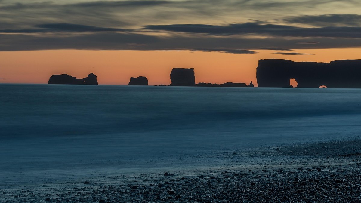
The coast writes its weather in the sky, and it writes it quickly. An inland walk can be planned from a forecast and rarely surprises you. A coastal walk or a cold-water swim can change character in twenty minutes — as a sea breeze builds, a bank of fret slides ashore, or a line of showers marches along the horizon towards you. Clouds are the first visible draft of that change: free, immediate, and available to anyone standing on a beach. Learn a few shapes and, more importantly, how they behave, and you will know whether to head out, wait an hour, or turn back to the car.
Cumulus are the puffy clouds with flat, often grey bases and bright cauliflower tops. On a settled summer morning they begin to appear over the land around ten or eleven o'clock, as the sun warms the ground and bubbles of moist air rise. Small, well-spaced cumulus with plenty of blue between them — fair-weather cumulus — are a good sign for a swim: light winds, bright light, and a sea that stays manageable.
Watch them from midday onwards, though, because that is when things change. If the tops start climbing into towers and the bases darken and flatten, you are looking at cumulus congestus — a cloud that is still growing. Sea breeze convergence over a headland or a warm estuary can trigger these by early afternoon, even when the wider forecast is dry. A sky full of small cumulus is a green light; two or three clouds growing visibly skywards is a prompt to shorten your plans and stay close to your exit point.
Stratus is the flat, featureless grey sheet that can sit over a coastline for days. It rarely looks dramatic, but it matters. The coastal version worth knowing is sea fret, called haar along the north-east coast of England and eastern Scotland. It forms when warm, moist air drifts over a cold sea — most often in late spring and early summer, when the North Sea and Channel are still at their coldest after winter while the land is warming fast.
Fret can slide ashore in minutes, taking visibility from twenty miles down to two hundred metres. That is the real hazard, not the temperature. If fret is rolling in, keep your swim short and within easy sight of the beach, wear something bright, and carry a whistle. Take a bearing before swimming if you are heading along a headland, and remember that a flat, glassy sea under fog looks inviting while making you very hard for other water users to see. Stratus often brings drizzle, and drizzle plus a cold sea is a fast route to chilling.
When a cumulus cloud keeps growing, it can become cumulonimbus — the full thundercloud, with a dark, hard base and a flat anvil top spreading downwind. This is the one to plan your day around rather than through. It brings squalls, heavy rain, hail, lightning and sharp gusts.
At the coast the gust front usually arrives before the rain, as a line of wind that can turn a calm sea into confused chop in under a minute. Look for rapid vertical growth, an anvil spreading sideways at the top, a shelf or roll cloud on the leading edge, and a dark line stretching across the horizon rather than passing by. Lightning on an open beach is genuinely dangerous: if you can count fewer than thirty seconds between a flash and its thunder, get off the water, away from the shore and into a building or a car, then wait a full thirty minutes after the last rumble before returning.
The horizon is your early-warning screen. Before you commit to a walk or a swim, spend a few minutes looking all the way round, especially upwind and out to sea.
Use the forecast the night before for the general picture, then let the sky on the day fill in the detail. Ten minutes before you get in, look round the full horizon, note the cloud types and how they are moving, and pick your exit point.
Small, well-spaced cumulus and a steady breeze? Enjoy a proper swim, but keep an eye overhead. Growing towers or a darkening base? Make it a short, close-to-shore dip. Fret or stratus rolling in? Stay shallow, stay visible, keep your bearings. Cumulonimbus anywhere near? Leave it for another day. And whatever the sky is doing, UK sea temperatures sit around 8–14°C for much of the year, so a bright sky does not mean warm water — acclimatise gradually, swim with others where you can, and have a dry robe, a flask and somewhere warm to change. After heavy rain, give the sea twenty-four to forty-eight hours before swimming again; runoff can affect water quality at popular beaches.
None of this replaces a proper forecast, but it does something a forecast cannot: it tells you what is happening above your own bit of coast, right now. Read the sky, and you will make better calls about the sea.

Hi, my name is Anthony kuber. I am artist and fashion designer.
I love to travel and writing blogging.
Your email address will not be published. Required fields are marked *
Software Developer & Writer
Hey, I'm Diva, a developer and writer blending code and creativity. I'm driven by a deep curiosity and a relentless pursuit of excellence. Join me as I craft digital solutions and captivating stories.


